ג׳ כסלו ה׳תש״פ | December 1, 2019
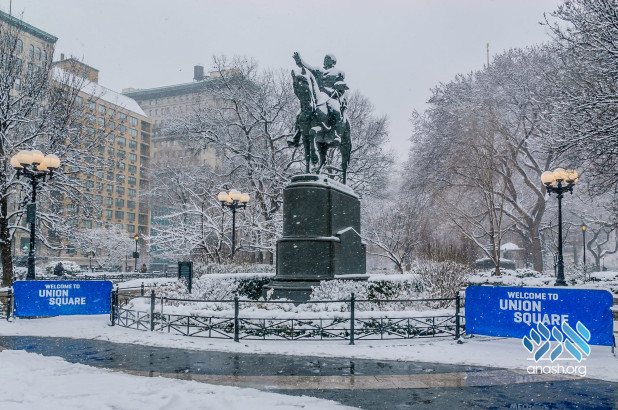
NYC To Be Hit With First Snow Storm Of The Season
The first part of the storm will arrive midday Sunday. About an inch of snow could collect on the ground in the five boroughs and on Long Island.
A Winter Storm Watch is in effect for areas north and west of New York City on Sunday and Monday, according to the National Weather Service, along with a Winter Storm Warning for areas further north and west, and a Winter Storm Advisory in areas further south.
Winds out of the northwest will make temperatures feel like they’re in the teens, with wind chill feeling like 15 degrees in Newark and 14 degrees in Mount Vernon.Craig Allens forecast: A look at winter weatherv
A wintry mix is expected to develop in the tri-state area by late Sunday morning, and then gradually changes over to rain for the city and the coast as warm air moves into the area; inland areas north and west of the city will see a changeover to a mix of sleet and rain.
Sunday night, rain continues for the city and coast, with a wintry mix well north and west of the city.
As the storm system begins to pull away, colder air works its way into the region, with a transition back to snow expected for all areas Monday morning. This will lead to more travel troubles on Monday, with bands of snow continuing throughout the day and into Monday night.
Some weather models indicate the city could get as much as 5 inches of snow, while areas west of the city could get anywhere from 8 inches to a foot. All of the weather models are suggesting we could see 5.5 inches of snow in New York City.
As the storm continues its eastward movement, it’ll affect post-Thanksgiving travel on Sunday and Monday — one of the busiest travel weekends of the year.
“If you are in a car take it very slowly. We encourage everyone to take mass transit, and want to make sure everyone stays safe,” said Sanitation Commissioner Kathryn Garcia.


Send us your feedback